Tripoli, Tuesday, September 26, 2023.
As part of its endeavor to strengthen national efforts at developing plans, programs and initiatives that would find solutions to the conditions that arose in the cities of Al Jabal Al Akhdar that were damaged by floods.
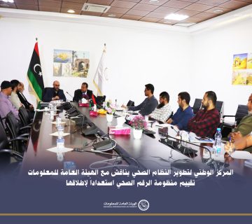
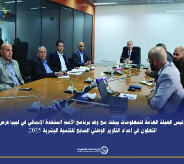
Based on its societal and humanitarian role, and under the support of its head, Engineer Abdel Baset Salem Al-Baour, the General Information Authority organized, today, Tuesday, a workshop on ((Developing the digital base map for the cities of Al Jabal Al Akhdar)).
At the beginning of this workshop, which was held at the Commission’s main headquarters in Tripoli, the Commission and the workshop participants offered their condolences to all the lives who were lost by floods.
The workshop was attended by specialists from various entities in the field of geospatial and geographic information, The workshop was attended by the Counselor Dr. Abdel Raouf Ali Al-Bibas, Engineer Adel Jumaa Al-Toumi, Director of the National Information System Department, Mr. Ashraf Bashir Al-Murabit, and General Coordinator of the workshop, Dr. Abdel-Rahman Al-Ferjani, Head of the Libyan Open Street Map, and male and female engineers from the Geographic Information Systems Department of the Authority. In addition to the participation of specialists from a number of relevant Libyan institutions.
The workshop program included a scientific lecture on the digital base map, presented by Dr. Abdul Rahman Al-Farjani, in which he discussed ways to involve relevant and specialized authorities in developing and updating the digital foundation of the cities of Al-Jabal Al-Akhdar on the Open Street Map platform, through the implementation of the Derna Mapathon in partnership with Omar Al-Mukhtar University, the University of Tripoli, the United Nations Program for Map Designers, the Open Street Map team, and the Arab Union for Surveying, in addition to the importance of these institutions’ contribution to localizing the concept of city information modeling to build digital twins of cities and urban areas. The lecturer also touched on the importance of training and raising the efficiency of those interested in the field of spatial intelligence for various specializations, by providing special training for trainers and granting them a license from the Arab Union for Surveying to work on the Arab Open Street Map platform.
The workshop included many interventions by specialists and experts that were taken into consideration by the authority.


